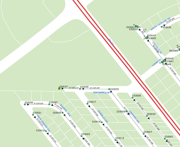
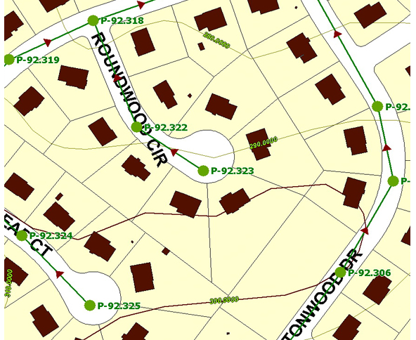
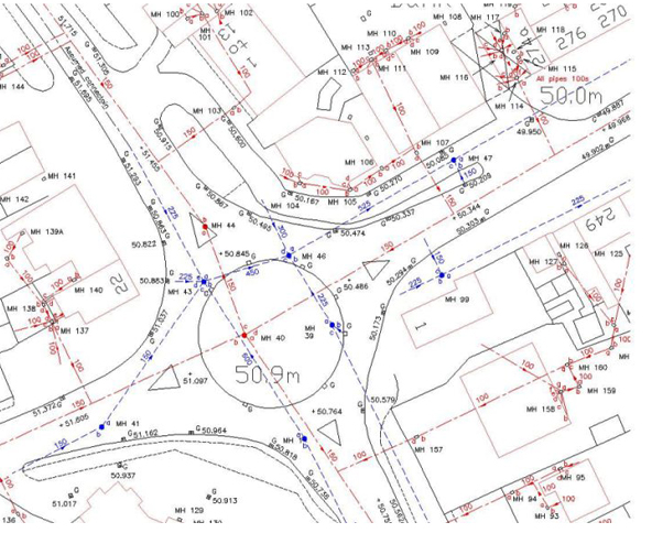
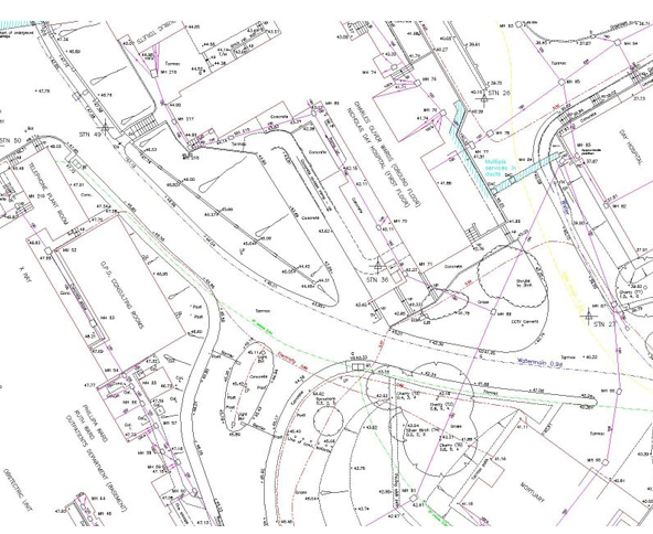
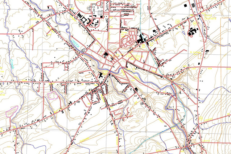
Over the years DIN Engineering Services has built up considerable expertise in data capture for utility mapping as well as interpreting and digitizing information on many types of utility lines, e.g. Water mains, Sewage systems, Telephone lines, Power lines, Gas mains, Oil Pipelines, Railway/signals mapping. We perform the Geo referencing and digitizing of the existing maps and drawings and extract of all relevant utility information with precise geometry, and all dimensions with engineering know-how for placing the objects on the technically appropriate layers.
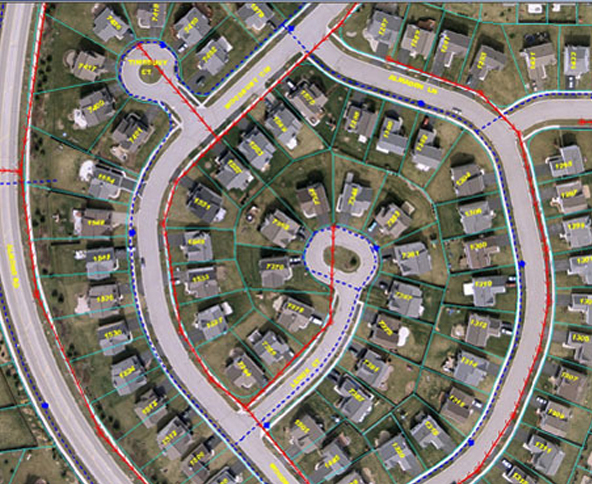
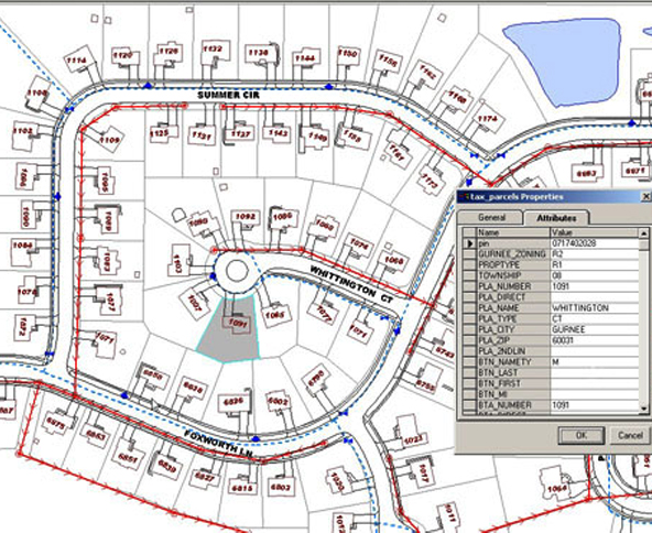
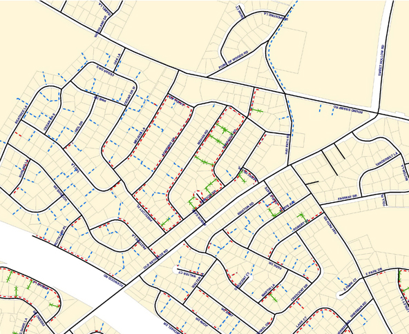
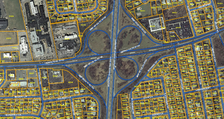
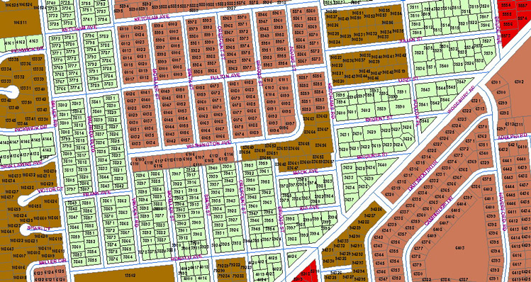
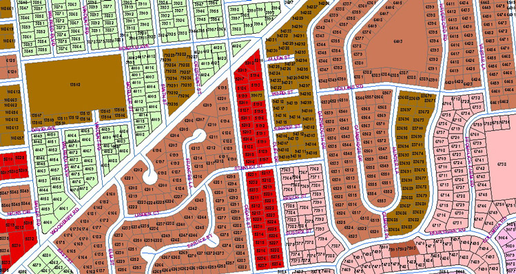
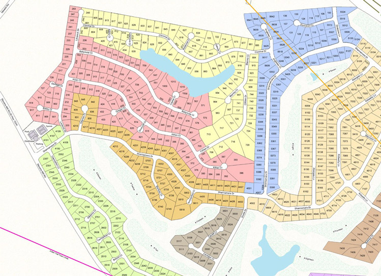
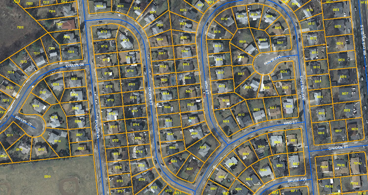
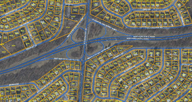
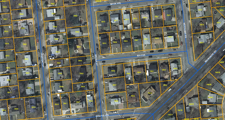
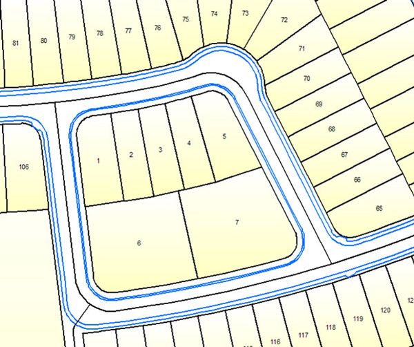
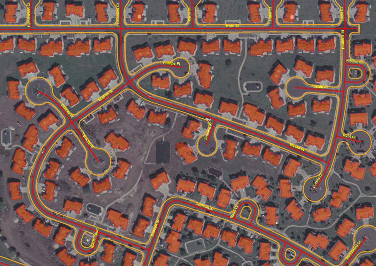
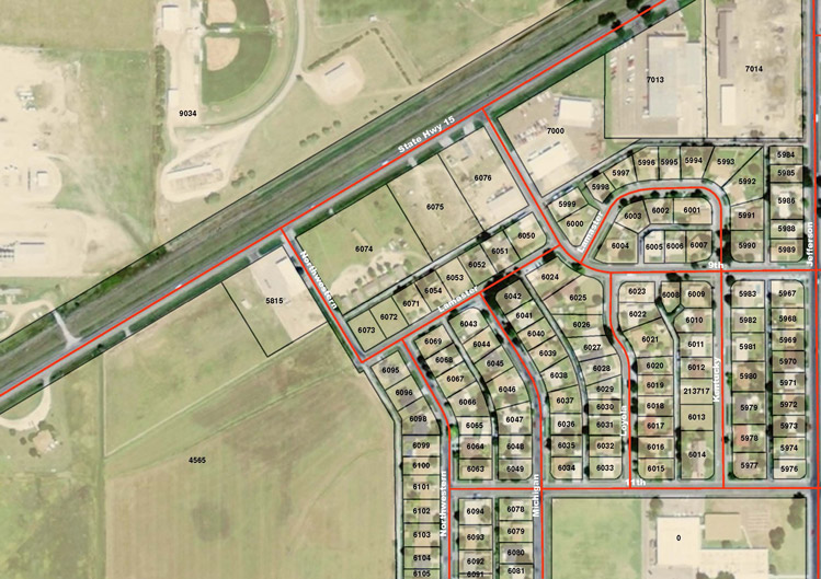
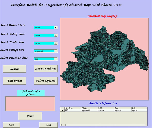
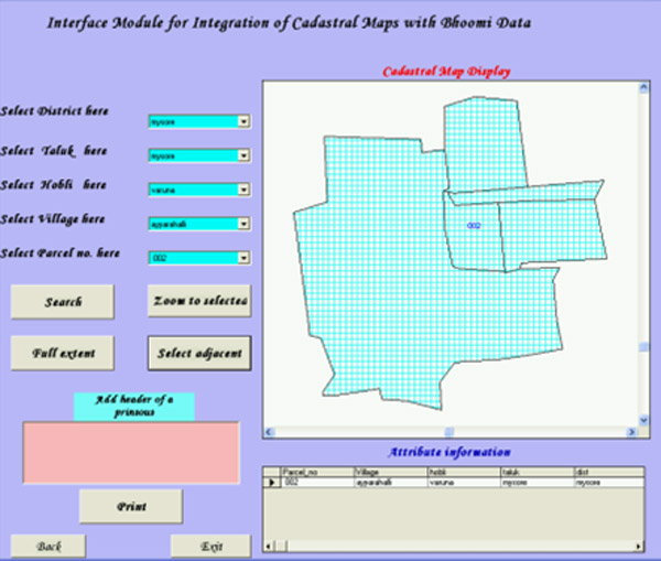
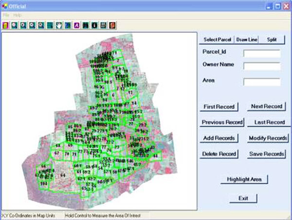
DIN Engineering Services has complete in-house cadastral mapping capability; our staff is experienced in all aspects of cadastral conversion, ranging from Land Records Scanning & Mapping, Coordinate Geometry (COGO) Mapping, Digital/GIS Conversion, Cadastral/CAMA Integration, and Cadastral/Land Use/Zoning Integration & Cadastral Data Maintenance. We provide integrated (spatial/non-spatial) digital maps with information like accurate area, ownership details, seamless cadastral map with searchable/ query enabled solution.
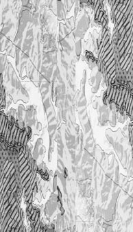
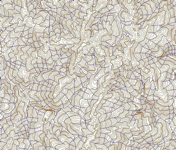
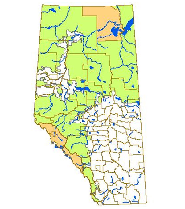
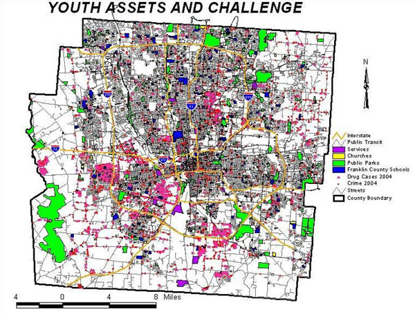
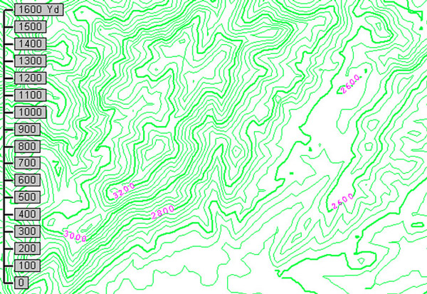
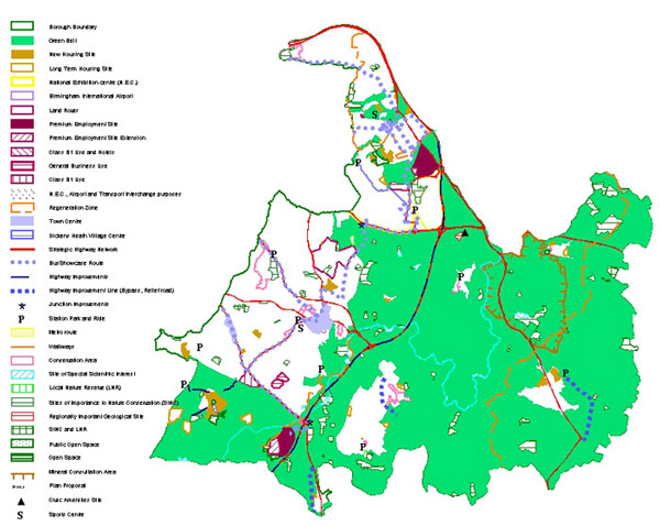
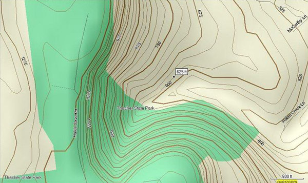
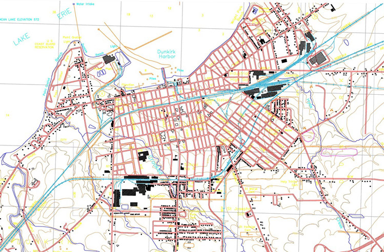
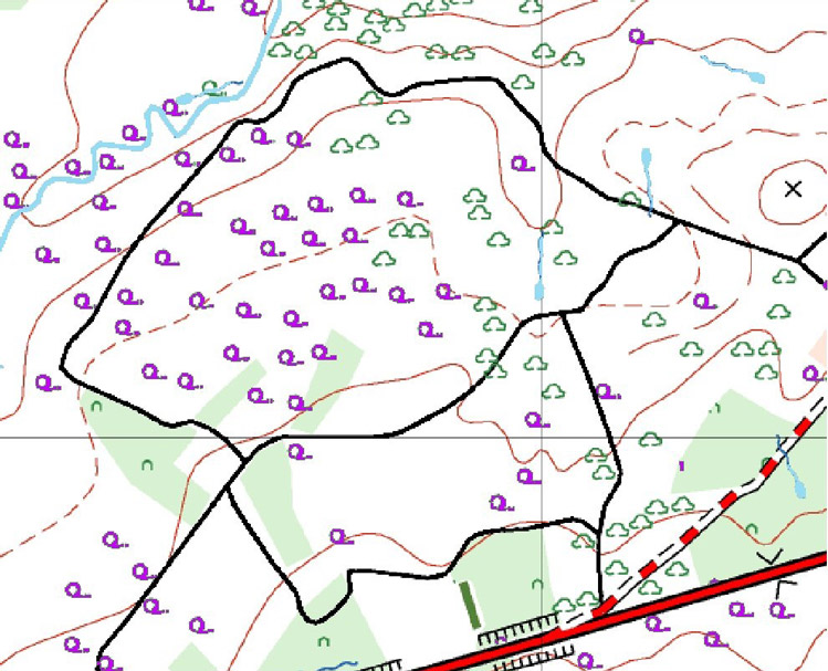
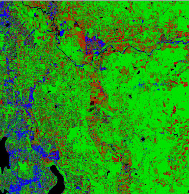
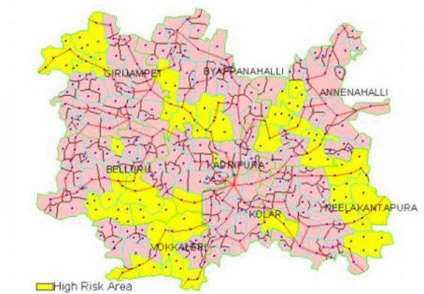
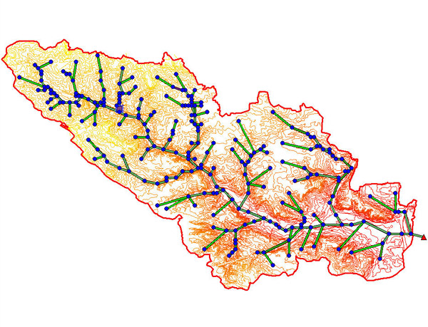
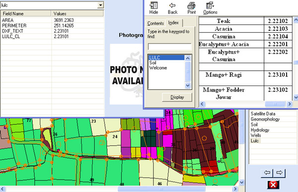
Over the years we have built up considerable expertise in Thematic, Geology and topographic mapping as well as interpreting and digitizing information on many types of maps such as Geology Maps, Land Use Maps, City maps, Mining Maps, Soil Maps, Population Distribution Maps, Railway/signals mapping, Zoning maps, etc… We have expertise in contour mapping including the generation of slope or aspect maps, shaded relief views, locate watersheds and combine shaded relief with Satellite imagery.
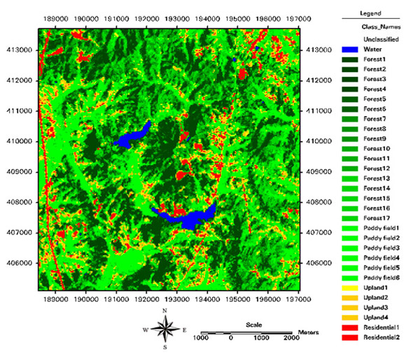
DIN Engineering Services have expertise in Feature Extraction from most of the commercially available satellite data products, including IKONOS, QuickBird, SPOT, ASTER, IRS, Landsat, Radarsat, MODIS, and NOAA. With our remote sensing capabilities we can provide services like Land use/land cover morphology data, Vector updates, High-resolution urban mapping, Forest density mapping and DEM extraction from stereo pair of medium resolution images. We can also extract/place the POIs (point of interest) for tourist maps with various sources.
DIN Engineering Services's full-fledged Application Development division is focused on GIS. Our GIS expertise has broad experience in various technology platforms and offers highly flexible solutions in several ways like Development of GIS Mapping Solutions (Desktop/Intranet/Internet), Application Software Development, Development of automated Workflow Management & Monitoring System (WMS) and web based solutions for real estate & home builders, post processing like Ortho-photo color balancing and mosaicking etc.
Note: We do not offer land surveying services in the State of California, USA
For More Information Please Visit our group-company website - www.dimensionigis.com

